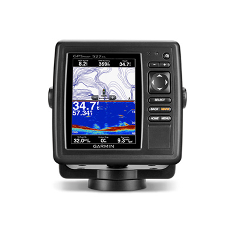


GPSMAP 527xs with transom mount transducer, includes map world base pre-installed. Independently of the type of installation (to the evenness, fixed or with gyratory support) it is visible so much by day as by night. It is very easy to use. Compatibility with CHIRP.

Safe shopping. Encrypted navigation with SSL for your security.

Free shipping on purchases over €150

Money-back guarantee if you are not satisfied
The integrated functions fishfinder of the GPSMAP 527xs offer flexibility to choose between(among) several optional transducers, DownVü 50/200 kHz, 77/200 kHz, CHIRP.
The wireless integrated connectivity you allows you to connect and to accede to nautical applications across a smartphone or a tablet.
The integrated functions of probe of the GPSMAP 527xs offer us the necessary freedom and flexibility to choose between several optional transducers, as the probe of exploration DownVü of 50/200 kHz and 77/200 kHz, and CHIRP. Also it´s compatible with the transducers of engine for fishing of curricán Minn Kota and MotorGuide. It admits also combinations into network to share the internal probe with any other device of the network. 527xs includes in addition a function of recording probe that it coordinates the time of the information of the probe with the position of your craft and guards digital information to reproduce her in a pc by means of the software of planning HomePort ™. It promotes of
Transmission 1Kw.

Compatible with a transducer CHIRP (it sells separately), the GPSMAP 527xs presents images of probe of great clarity with zones of fishing, remains of shipwrecks or areas of skin-diving. With the technology Garmin's CHIRP there obtains a separation of aims and a resolution distinctions to extraordinary depths, and you can tune to specific frequencies in order to locate certain species for sports fishing. The contours of the bottom are more visible, even on having sailed to great speed, and it is possible to suppress the noise of the sign to major depths, which provides an interpretation more opportune than exists below, to guarantee a surer navigation and a better fishing.
This combination allows him to add more functions to your craft, so that it can see on your screen useful information of the pilot automatic Garmin, information of the engine and much more
The GPSMAP 527xs offers functions of network that allow him to share functions with other units compatible GPSMAP, as radars, probes of exploration GCV 10 DownVü and SideVü, complementary maps and information of user, as intermediate points, routes and tracks. The information of user got in a plotter can synchronize automatically with other plotters of the network.
With the card SD BlueChart g2 Vision, you can add the only functionalities to your plotter:
The transducers Garmin gWind, gWind Wireless and gWind Race incorporates technology of double fin into propeller of three spades. They can connect to the plotters Garmin and NMEA 2000 across the convertor of black box GND 10.
